How can you identify a steep area on a topographic map?
1 Answer

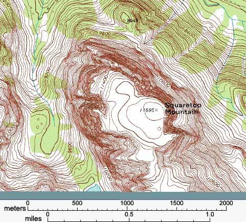
Topographic maps are map that show elevation through lines.
When a slop is steep, the lines on a topographic map will be closer together. The distance between lines represents the distance until the next significant incline. When the lines are closer together, it indicates multiple inclines in close proximity, forming a steeper slope