What is the most powerful type of thunderstorm?
1 Answer
Supercells are the most powerful type of thunderstorm.
Explanation:
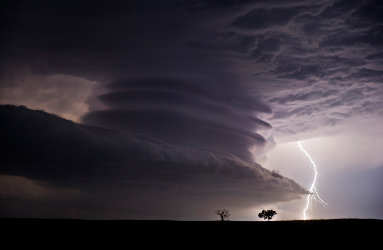
Supercells produce very, very severe weather including very high winds (more than 100 miles per hour or 161 kilometers per hour), large hail (I'm talking golf ball to tennis ball size hail), and tornadoes. If there's one good thing about supercells it's that they're not very common (but they are quite stunning).

Courtesy of: National Geographic/ Jennifer Brindley; Obtained from: http://thefabweb.com/52945/30-best-sky-pictures-of-the-week-july-26th-to-aug-01th-2012/attachment/52960/; Reused under Fair use
The reason supercells are so rare is that in order for one to from you need three very specific weather related factors to be present all at the same time. These three factors are moisture, instability and lift, and wind shear. If any one of these elements is missing a supercell will not form. I realize that these terms are super nerdy so I'll describe them, as they pertain to supercells at least, below:
-
Moisture (or humidity): the air must be quite moist, if the air isn't humid enough a supercell won't form. "Warm" air contains more water and is therefore more moist than cold air, this means that the air must be "warm" in order for a supercell to form. For a supercell thunderstorm to form the air must be at least 50 degrees Fahrenheit or 10 degrees Celsius (that isn't very warm if you ask me).
-
Instability and Lift: unstable air is air that is warmer than the surrounding environment which rises rapidly. More specifically unstable air occurs when surface air (air at ground-level) is warmed beneath cooler temperatures above it, this causes the warmer air to rise rapidly then cool and fall (creating a draft, you can think of pasta in a pot of boiling water).
-
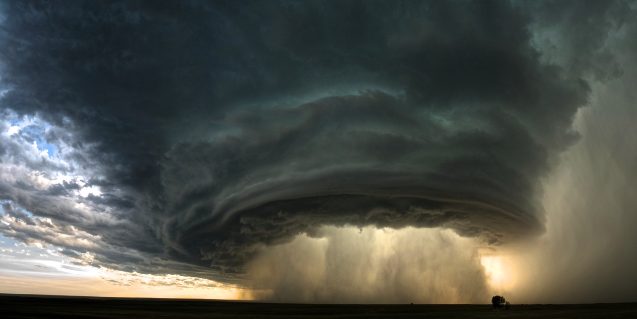
Wind Shear: this simply means that the wind at a higher altitude is turning in a westward direction and the winds increase in intensity as you ascend (the winds above are faster than the ones below). The wind shear creates a spinning updraft called a mesocyclone (it looks like a spiral or a vortex [essentially the opposite of what your drain does]).
The image below is of a supercell and mesoclone, the doughnut looking clouds are caused by the spinning winds.

Image Courtesy: poststuff (imgur user); Obtained from: http://imgur.com/gallery/fXU2Z; Reused under: Fair use
When all of these factors come together a supercell forms. Below is a video that might be able to better explain the entire process a bit better:
I hope this helps!

